Classification with OpenCV
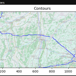
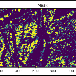
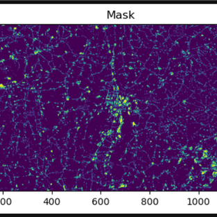
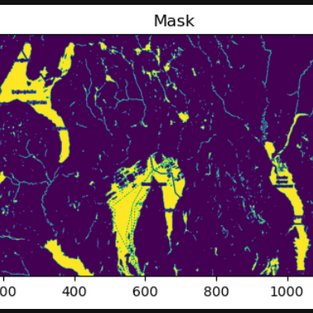
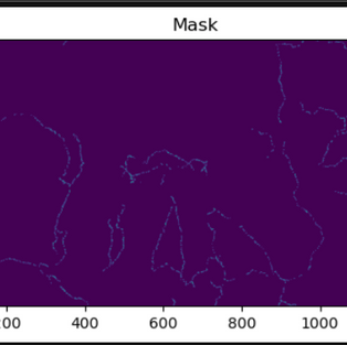
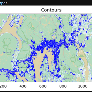
This is a small project where computer vision is used to classify various elements from OpenStreetMap maps. The whole project was implemented in a JupyterNotebook. For this, the user can narrow down the section of the map by searching for a location and the zoom factor. The localization is implemented using GeoPy Geocoders and the map segment is then saved as an image. The classification process starts with the user being able to select whether he wants to classify water, highways, federal roads, vegetation or settlements. Based on the selection made, the RGB values for the classification are determined. With the inRange() function the mask is now retrieved by applying the thresholding. Finally the matching contours have to be found with the findContours() function of OpenCV and with drawContours() they are drawn on the image.
Link to the JupyterNotebook: https://github.com/Leonieen/Projects/blob/main/ClassificationOpenCV/ClassificationOpenCV.ipynb


